The Pennines, often called the “Backbone of England,” is a range of uplands stretching from the Peak District in Derbyshire in the south to the Scottish Borders in the north.
📍 Where Do the Pennines Start?
✔ Southern Start: Edale, Derbyshire – Located in the Peak District National Park, near Kinder Scout, which is the first major peak of the Pennines.
✔ Some geographers extend the Pennines further south to Ashbourne or even the Derbyshire Dales, but Edale is widely accepted as the starting point.
📍 Where Do the Pennines End?
✔ Northern End: The Scottish Borders, near Cheviot Hills and Hadrian’s Wall.
✔ The North Pennines fade into the Southern Uplands of Scotland, making the exact boundary slightly unclear.
📏 Total Length of the Pennines
✔ Approx. 250 miles (400 km) from Edale to the Scottish Borders.
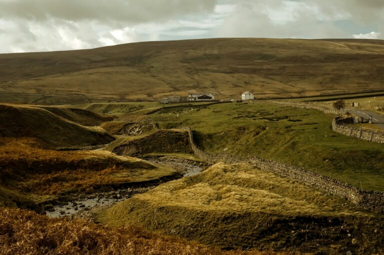
🏔️ Key Areas Along the Pennines
1️⃣ Peak District – Southernmost Pennines (Kinder Scout, Mam Tor).
2️⃣ South Pennines – West Yorkshire & Lancashire (Haworth, Hebden Bridge).
3️⃣ Yorkshire Dales – Rolling valleys and limestone scenery (Malham Cove, Ingleborough).
4️⃣ North Pennines – Remote moorlands & waterfalls (High Force, Cross Fell).
5️⃣ Cheviot Hills – The northernmost area, marking the transition to Scotland.
Would you like help planning a Pennine Way hiking route? 😊🏞️